Learn how to use MapSAR and GIS for Search Operations

| MapSAR |
Participate in the first MapSAR Training in New Mexico! The training is designed to help participants learn how to use MapSAR – a GIS (Geographic Information System) application – for improving Search and Rescue (SAR) efforts. Prior GIS experience is not required to participate in the training but we recommend strongly that those without GIS experience complete ESRI’s free ‘Getting Started with GIS’ web course prior to attending the training. The MapSAR Training is composed of three parts:
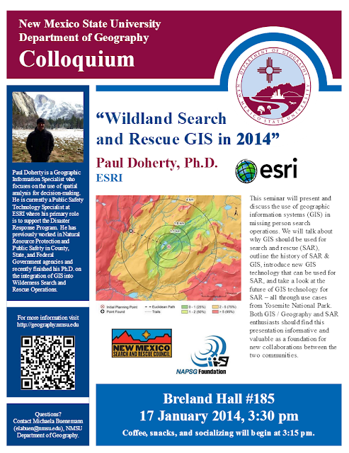
- Friday, 01/17/2014, 1530-1700: Seminar, GIS for Search and Rescue
- Saturday, 01/18/2014, 800-1700: MapSAR Tutorial, Yosemite National Park Scenario
- Sunday, 01/19/2014, 800-1700: MapSAR Workshop, New Mexico SAR Scenario
The seminar on Friday is open to the public. However, registration is required for the trainings on Saturday and Sunday and space is limited. So, register now by submitting the attached form!
Cost: $0; computers, software, and training materials will be provided
Location: New Mexico State University, Breland Hall 185 & 194, Las Cruces, NM 88003 Contact: Michaela Buenemann (elabuen@nmsu.edu) for registration details
Due by December 15th, Go to the Registration Page
Participants will be selected from all registrants to ensure that the class is composed of SAR team members from across New Mexico as well as a mix of people with SAR and GIS knowledge and skills. If vacancies occur, participants on the waiting list will be notified at a later time. See the NM SAR Council Calendar page.


No comments:
Post a Comment